Coordination and Monitoring Meeting in Dublin

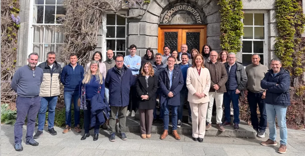
The RIVERS-REST Steering Committee held its April meeting in Dublin. Our partner, Trinity College Dublin, hosted the RIVERS-REST Coordination and Monitoring Meeting in its historic facilities.
The RIVERS-REST Steering Committee held its April meeting in Dublin.
Our partner, Trinity College Dublin, hosted the RIVERS-REST Coordination and Monitoring Meeting in its historic facilities from April 15-17, 2026, six months after the project’s launch.

These meetings are essential for advancing technical activities, strengthening transnational cooperation, and addressing management issues, from financial matters to communications.
With a format of presentations on each partner’s progress in the main activities, the following Pilots stood out at the Dublin meeting. These projects are progressing very well and are beginning to show interesting developments or raise valuable discussions that will shape the work over the next six months:
Pilot 1: Contamination of drinking water sources due to inefficient application of Protection Zones
Gilles Guibaud, from the University of Limoges, framed Pilot 1 within Directive 2020/2184, whose objective is to protect human health from the adverse effects of water pollution. The goal is to demonstrate the source of contamination to the regional administration responsible for agriculture so that it can limit the use of pesticides and fertilizers.
Miguel Gil, from YUNTAS, connected this Pilot to the activity that will advance the definition of Protection Zones for water sources in both the Algarve and Andalusia.
José Antonio Linares (ARECIAR) explained how the delimitation of Protection Perimeters protects consumers and companies in the Integrated Water Cycle, such as ARECIAR and ÁdA, which are seriously affected without this coverage and cannot fully comply with the legislation.
Pilot 4: Restoration of riverbanks in rivers with heavy merchant shipping traffic
Antonio Bejarano (Port of Seville) presented the progress: construction of dry mud modules with seeds and cuttings has begun. Installation has not yet started, but progress is being made not only in manufacturing but also in the economic feasibility study:
- Project and implementation costs for this Pilot (100 linear meters) = €40,000
- Restoring 1 km does not mean 10 x €40,000 because economies of scale will be generated.
There are 80 km from Seville to the estuary, with 160 km of riverbanks, but only 16km have to be restored in the short term, so the scalability of this Pilot 4 is feasible.
This pilot project builds on the results of previous projects with the same objective: to restore the degraded banks of the Guadalquivir River in its final stretch between the city of Seville and the estuary.
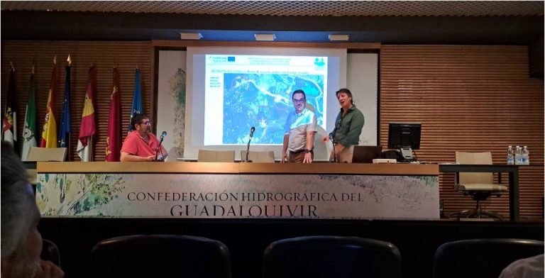
Pilot 5: Restoration of channelled rivers to recover water supply to protected wetlands.
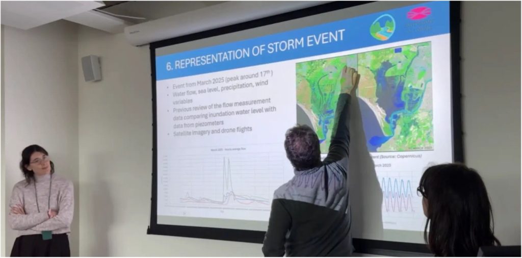
Ania Fernández and Marina de Miguel explained that this pilot project has initiated the development of a complex hydraulic model to study the extreme flooding events that occur approximately every 15 years, although climate change has caused two consecutive events in 2025 and 2026.
The first steps have consisted of compiling and analyzing historical events, climatic and hydrological variables, and territorial data. The initial data must be highly accurate for the modeling, which presents a scientific and technical challenge due to the 50,000-hectare area with an average slope of 0.01%.
The ongoing fieldwork is explained, detailing its the following objectives:
- To obtain flood records that will allow for future calibration of the models, as they will indicate the extent and depth of the extreme floods of 2025 and 2026, as well as the post-flood effects.
- To advance our understanding of the hydraulic structures that determine the inflow and outflow of water to the protected marsh: culverts and drainage gates.
Juan Lluch (CHG) explained that the reconnection of the Guadiamar Channel with the Guadiamar River, in a river restoration project aimed at recovering a hydrological cycle as similar as possible to that which existed before agricultural transformations, would be in accordance with agreements reached in recent years, such as the Doñana 2005 Plan between the Guadiamar River Basin Authority (CHG), which belongs to the Central Government, and the Doñana Natural Area, which is managed by the Regional Government.
Pilot 7: Estuary Governance Supported by Combined Technologies and Numerical Models
The core of the Pilot project, which is overcoming the fragmentation and insufficient cooperation among the various administrations that manage estuaries, is confirmed; this is a problem in itself and generates additional problems such as the high fragmentation of information and the difficulty of accessing existing data.
Fabrice Klein, from the Port of Bordeaux, explains that the Digital Twin is conceived as a tool to adapt port planning to the risks associated with climate change: rising temperatures, flooding, and extreme weather events.
Its objective is to leverage the vast databases available (such as monitoring systems for tides, currents, water quality, etc.) from various stakeholders, integrating them to generate information applicable to decision-making and planning.

To this end, Jean Luc Trouvat explains that interviews and meetings have been conducted to increase the involvement of key stakeholders, enabling the identification of needs, data sources, and limitations. SMIDDEST is promoting a comprehensive inventory of information sources (monitoring networks, data portals, satellite data) as a basis for their future integration.
With SMIDDEST’s support, a methodological guide is being developed that defines a common framework for governance, environmental issues, navigation, and management tools.